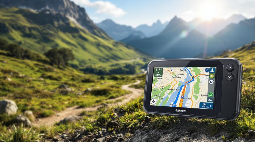
Exploring New Zealand’s 4WD tracks demands a GPS that works offline, handles tough weather, and provides detailed topographic maps. Cell service is unreliable in remote areas like Lindis Pass or Nevis Valley, making dedicated GPS devices essential for safety and navigation. Here’s a quick breakdown:
- Top Picks: Garmin GPSMAP 66i (rugged and precise), Hema HX-1 Navigator (NZ-focused maps), Garmin Overlander (large storage, versatile).
- Key Features to Look For:
- Offline maps for areas without cell service
- Weather resistance (IPX7 or better)
- Long battery life for extended trips
- Detailed NZ topo maps with trails, elevation, and DoC boundaries
- Pro Tip: Always carry paper maps as a backup.
Quick Comparison
| Device | Price | Best For | Key Feature |
|---|---|---|---|
| Garmin GPSMAP 66i | $500 | Remote Backcountry | Rugged build, satellite precision |
| Hema HX-1 Navigator | $600 | Local Trail Navigation | NZ-focused mapping |
| Garmin Overlander | $700 | Long Expeditions | Large storage, topo maps |
For safe and smooth 4WD adventures in NZ, choose a GPS that fits your needs and always plan ahead.
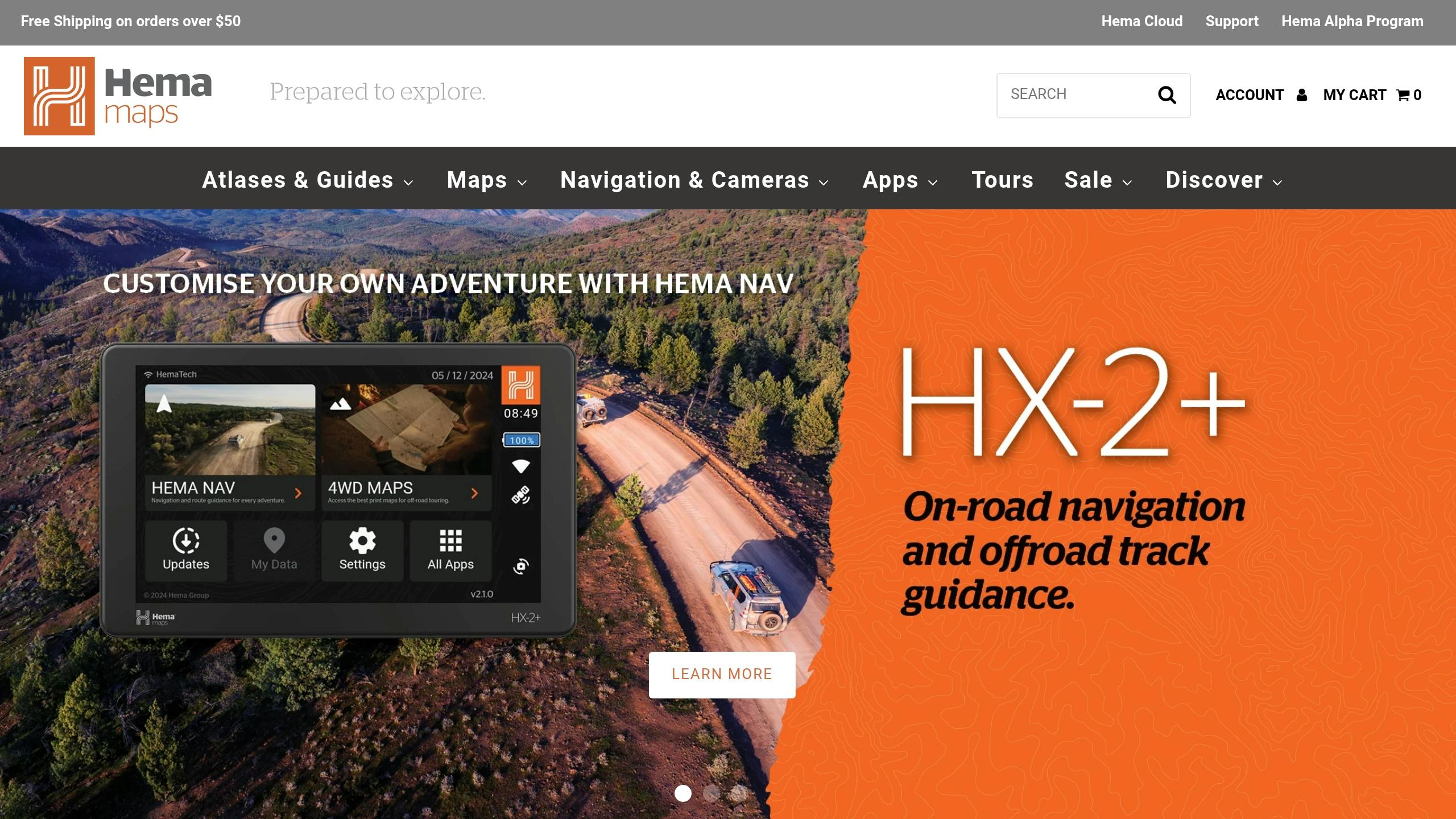
Hema HX-1 GPS Navigator Review for Offroad Use
3 Best GPS Devices for NZ 4WD Tracks
Here are three GPS devices that are well-suited for navigating New Zealand’s challenging 4WD tracks.
Garmin GPSMAP 66i

The Garmin GPSMAP 66i is a tough handheld GPS designed to handle New Zealand’s rugged terrain. With an IPX7 rating, it can survive being submerged in 3.3 feet of water for up to 30 minutes. Its 240×400 pixel display stays readable even in bright sunlight, and it uses both GPS and Galileo satellite systems for quick and accurate positioning, even in dense bushland. The device includes 16GB of internal storage, expandable with a micro-SD card, and can store up to 10,000 waypoints and 250 routes.
Hema HX-1 Navigator
Loaded with detailed New Zealand maps and over 40,000 verified points of interest, the Hema HX-1 Navigator is perfect for exploring the country’s vast network of tracks. It covers an impressive 693,000 km of 4WD tracks and 545,000 km of dirt roads. The HX-1 offers two navigation modes tailored to different needs:
| Mode | Best For |
|---|---|
| Drive Mode | Highway and main road navigation |
| Explore Mode | Off-road and trail tracking |
Garmin Overlander
Built to meet MIL-STD 810 standards for thermal and shock resistance, the Garmin Overlander is designed to withstand the tough conditions of New Zealand’s off-road adventures. It comes with 64GB of storage, allowing for detailed topo maps and additional data. Key features include preloaded topographic maps for thorough terrain visualization, compatibility with InReach for emergency communication, and a 7-inch display that remains clear in various lighting conditions.
These GPS devices offer offline map access, water resistance, and long battery life – essential features for navigating New Zealand’s off-road challenges. Whether you’re venturing into remote backcountry areas, exploring local trails, or planning expansive expeditions, there’s a device to match your needs.
| Device | Standout Feature | Best For |
|---|---|---|
| GPSMAP 66i | Rugged Build & Satellite Precision | Remote Backcountry |
| Hema HX-1 | NZ-Focused Mapping | Local Trail Navigation |
| Overlander | Large Storage & Versatility | Long Expeditions |
What Makes a Good Off-Road GPS for NZ
When venturing off-road in New Zealand, certain GPS features are crucial for navigating the unique terrain and conditions.
NZ Topo Maps and Trail Data
Having accurate topographic maps is a must for off-road navigation in NZ. The ideal GPS should include 1:50,000 vector mapping with key details like:
| Map Feature | Navigation Benefit |
|---|---|
| Trail Markers | Helps identify tracks accurately |
| Elevation Data | Assists in planning routes through varied terrain |
| Hut Locations | Points out emergency shelter options |
| DoC Boundaries | Aids navigation around Department of Conservation areas |
| Vegetation Cover | Offers detailed terrain insights |
MapToaster Mobile/NZ is a standout option, offering clear vegetation distinctions and well-defined contours. Its Topo50 updates cover mainland New Zealand, Stewart Island, and key offshore islands, with updates extending through November 2024.
Offline mapping is another critical feature to ensure you stay on track even without cell service.
Maps That Work Without Cell Service
Offline maps are essential for off-road adventures. A reliable GPS should offer:
- Pre-loaded Base Maps: Ready-to-use maps that don’t rely on connectivity
- Expandable Storage: Typically over 300MB to store detailed NZ map data
- Support for Multiple Map Sources: Flexibility to use various map formats and providers
"I’ve owned other GPS mapping, and the difference with MapToaster Mobile/NZ is huge. The vegetation cover distinguishes different types, like scrub and native bush. Contours are clearly defined. There are concise symbols, especially for buildings and 4WD tracks. The uncluttered ‘FIND’ results give noteworthy points in the locality instead of a list mostly comprising the word ‘building.’ There is no doubt I prefer your product…"
While maps are critical, durability is just as important for tackling NZ’s rugged conditions.
Weather and Impact Protection
New Zealand’s unpredictable weather and tough terrain require a GPS that can handle it all. Look for these durability features:
- Water Resistance: At least an IPX7 rating to withstand wet conditions
- Shock Protection: Built to U.S. military standard 810 for impact and temperature resistance
- Screen Visibility: Ensures clarity in both bright sunlight and rain
Dedicated GPS units often outperform smartphone apps in extreme environments. For example, the Garmin Tread is built for the challenge, featuring IPX7 water resistance and compliance with U.S. military standard 810.
Lastly, a reliable GPS for NZ should support local coordinate systems like NZ Map Grid, NZ Transverse Mercator, and WGS-84 lat/long, ensuring precise positioning across various maps.
sbb-itb-0f2357b
GPS Device Comparison Chart
Compare top GPS devices designed for navigating New Zealand’s 4WD tracks below.
Price and Features Table
| Feature | Garmin GPSMAP 67 | Garmin eTrex 32x | Garmin inReach Mini 2 | Montana 700 |
|---|---|---|---|---|
| Price | $500 | $273 | $295 | $600 |
| NZ Topo Maps | Yes | Yes (downloadable) | Basic | Yes |
| Offline Navigation | Yes | Yes | Yes | Yes |
| Satellite Networks | GPS, GLONASS, Galileo | GPS, GLONASS | GPS, GLONASS, Galileo | GPS, GLONASS |
| Key Strength | Best overall performance | Best value | Compact messaging | Large display |
Key Features of Each Device
- Garmin GPSMAP 67: At $500, this model stands out for its reliable build and excellent mapping features, making it a top performer for rugged adventures.
- Garmin eTrex 32x: Priced at $273, this device offers essential features at a great price, making it an excellent value option.
- Garmin inReach Mini 2: Compact and priced at $295, it includes integrated messaging for those who need communication on the go.
- Montana 700: With a $600 price tag, this device boasts a large, easy-to-read display and smooth map transfers, ideal for advanced navigation needs.
Higher-end models come with detailed topographic maps, larger onboard storage, and compatibility with essential systems like NZ Map Grid and Topo50 maps – all without requiring extra subscriptions. These features are critical for navigating New Zealand’s demanding 4WD tracks.
How to Use Your GPS on NZ Trails
Pre-Trip Map Updates
To navigate New Zealand trails effectively, keeping your GPS maps up to date is a must. Before setting off, update your device with the latest Topo50 maps, which cover all 452 regions. Simply connect your GPS to your computer, update the software, and download the specific regional map packages for your planned route.
While digital updates are crucial, having a physical backup is equally important.
Bring Paper Maps as Backup
Always carry a paper map alongside your GPS. LINZ‘s 1:50,000 Topo50 maps are a great choice, offering detailed trail layouts. Paper maps provide a broader view of the area and are a reliable fallback if your GPS malfunctions. Don’t forget to bring a fully charged power bank to keep your GPS powered throughout your trip.
Setting Markers and Recording Trails
Modern GPS devices come with handy features to ensure you can find your way back. These include tracking your route and marking key points along the trail. Here’s how to make the most of them:
- Mark waypoints at important spots like campsites and water crossings.
- Record your route so you can retrace your steps if necessary.
- Use the Snail Trail feature to visualize your path directly on the map.
Conclusion: Pick Your NZ 4WD GPS
Finding the right GPS for navigating New Zealand’s 4WD tracks means choosing a device that can handle tough terrain. Focus on features like detailed mapping, support for local topographic data, strong satellite reception, high-sensitivity chipsets, and plenty of storage space.
Some devices are versatile, working well for both vehicle navigation and hiking, while others are built specifically for intense off-road adventures.
When selecting your GPS, keep these key factors in mind:
- Map Compatibility: Ensure it supports NZ coordinate systems like NZ Map Grid, NZ Transverse Mercator, and WGS-84.
- Durability: Look for waterproof construction to handle unpredictable weather.
- Battery Life: Aim for at least 15 hours of operation for longer journeys.
These features will help your GPS stand up to New Zealand’s rugged conditions and provide reliable performance during extended trips.
For more tips on NZ trails and GPS advice, check out Live Outdoors (liveoutdoors.co.nz). And remember, always have backup navigation tools for added safety.
Related Blog Posts
- Best Offline Navigation Apps for New Zealand Hikes
- Best Hand-Crank Chargers for New Zealand Outdoors
- Top 7 Navigation Apps for Freedom Camping in NZ
https://app.seobotai.com/banner/banner.js?id=67c79cff2bcc05f30f1cdfe8
